- ARAB NEWS
- 25 Apr 2024
Since 1975


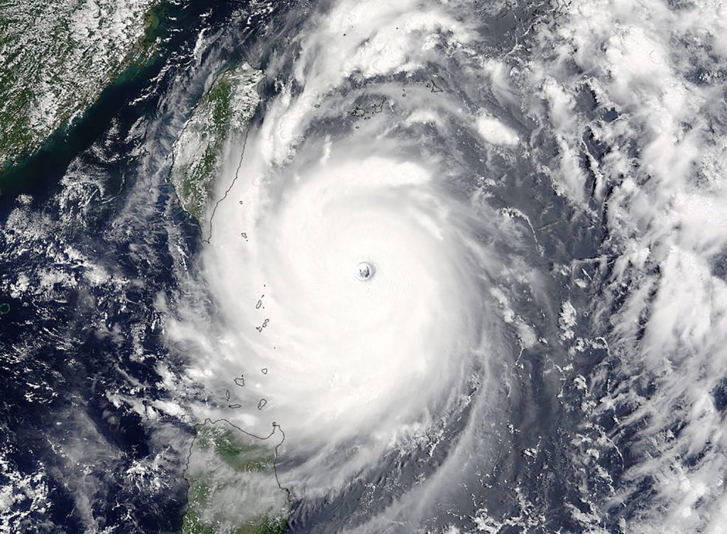
TOKYO: Typhoon Nepartak is highly likely to make landfall in the Tohoku northeastern Japan region Tuesday evening, according to the Japan Meteorological Agency.
The agency called for caution against torrential rains, violent winds and high waves.
The eighth typhoon of the year is forecast to cross Tohoku before reaching the Sea of Japan side of the country and becoming a tropical cyclone on Wednesday.
In August 2016, Typhoon Lionrock became the first typhoon to make landfall in the Pacific side of Tohoku, killing dozens of people.
At 9 p.m. Monday (noon GMT), Typhoon Nepartak traveled west off the east coast of the Kanto eastern Japan region at 30 kilometers per hour.
The typhoon, with a central atmospheric pressure of 992 hectopascals, had a maximum sustained wind speed of 20 meters per second and a maximum instantaneous wind speed of 30 meters per second.
Strong winds of 15 meters per second or more were observed up to 600 kilometers east of the typhoon and 390 kilometers west.
Rainfall is expected to increase mainly in Tohoku and may cause mudslides, flooding on lowlands and rising rivers.
Rainfall in the 24 hours to 6 p.m. Tuesday is forecast to reach up to 150 millimeters in Tohoku, 120 millimeters in the Kanto-Koshin region and 100 millimeters in the Hokuriku central Japan region.
A maximum wind gust speed of 30 meters per second is forecast for Tohoku and Kanto-Koshin on Tuesday, with sea waves seen reaching 6 meters.
JIJI Press