- ARAB NEWS
- 31 Jul 2025
Since 1975


TOKYO: The possibility of a powerful earthquake occurring over the next 30 years remains high on the Pacific side of Japan, the government said Friday.
The latest 2020 seismic hazard map released by the government’s Earthquake Research Committee showed the probabilities of a temblor measuring at least lower 6, the third-highest level on the Japanese seismic intensity scale of 7.
The probabilities are at least 26 pct in the eastern part of Hokkaido, northernmost Japan, as well as the Pacific side of the Kanto eastern region, Tokai central region and Kinki and Shikoku western regions, according to the map.
The results stem from high probabilities of two huge offshore quakes over the 30 years.
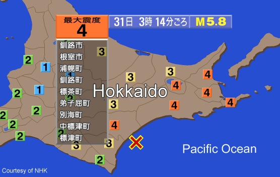
One is a temblor with a magnitude of around 8 forecast to occur with an 80 pct probability along the Chishima Trench off Nemuro, Hokkaido.
The other one, seen occurring along the Nankai Trough off the central to southwestern Japan coast with a magnitude of 8 to 9, has a probability of 70 to 80 pct.
Many points on the map where the offices of prefectural capital cities and Hokkaido subprefectural bureaus are located showed slight increases in quake probabilities.
Of them, Mito, Ibaraki Prefecture, showed the highest probability at 81 pct, unchanged from the previous 2018 map.
The probabilities stood at 80 pct in Nemuro, up from 78 pct, 75 pct in Kochi, unchanged, and 75 pct in Tokushima, up from 73 pct.
As recent geographical, geological and drilling survey data are reflected in the map, the probabilities dropped to 62 pct from 85 pct in Chiba and to 30 pct from 55 pct in Osaka.
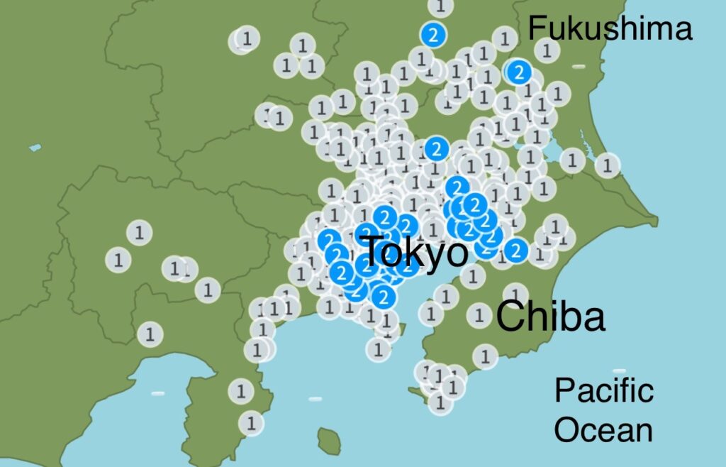
The number edged down to 47 pct from 48 pct in Tokyo.
The release of the 2020 map was delayed into 2021 as evaluations of quake probabilities along the Japan Trench and the Nankai Trough were updated.
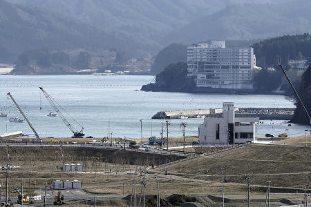
The Tohoku northeastern region still sees aftershocks of the 9.0-magnitude offshore temblor of March 2011, which unleashed deadly tsunami along the region’s Pacific coast.
Partly because of this, the probabilities of major quakes measuring at least lower 6 over the coming 30 years remain high at 26 pct or over along the Pacific coast of Miyagi and Fukushima prefectures in Tohoku.
Shizuoka and Yamanashi prefectures as well as the eastern part of Nagano Prefecture, all central Japan, showed lower probabilities because of updated quake evaluations, although they are still at high levels.
“We want people to check the areas of their homes, schools and workplaces on the map and take steps such as quake-proofing furniture,” said Naoshi Hirata, chairman of the committee.
The Japanese version of the map is accessible at the website of the government’s Headquarters for Earthquake Research Promotion.
Also, people can pick a location and see the quake probability as well as how prone it is to shake on the National Research Institute for Earth Science and Disaster Resilience’s J-SHIS online hazard map.
JIJI Press