- ARAB NEWS
- 14 Jul 2025
Since 1975


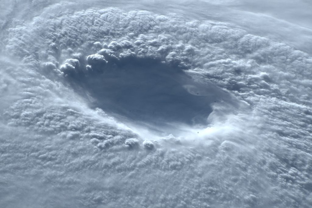
TOYKO: Typhoon Nanmadol, the 14th typhoon of the year, turned into an extratropical cyclone at 9 a.m.
Tuesday (midnight Monday GMT) after making another landfall in Japan earlier in the morning near the central Japan city of Niigata.
As heavy rain caused by the large typhoon has loosened the ground in some parts of the country, the Japan Meteorological Agency warned people in the wide area from the western part of the country to the northernmost prefecture of Hokkaido to be very careful of any possible landslides and inundation of low-lying areas, as well as high waves.
The typhoon traveled through the Kyushu southwestern region from Sunday night to Monday morning and moved around Yamaguchi Prefecture in western Japan and along the coast of the nearby Sanin region toward Monday night, before once moving away from land.
It made landfall near Niigata at around 4 a.m. Tuesday and then turned into an extratropical cyclone over the Pacific Ocean off the Tohoku northeastern Japan region.
Typhoon Nanmadol left two people dead in the southwestern Japan prefecture of Miyazaki, the Fire and Disaster Management Agency said on Tuesday morning.
One person in the western prefecture of Hiroshima has gone missing, while a total of 115 people from 20 prefectures ranging from the Kyushu southwestern region to the Tokai central area have been injured so far.
In addition to such people, the Japanese government has received reports of the deaths of two people, currently under investigation for any links with the typhoon, and two cases of cardiopulmonary arrests, Chief Cabinet Secretary Hirokazu Matsuno told a press conference Tuesday morning.
The city of Wajima, Ishikawa Prefecture, central Japan, recorded a maximum instantaneous wind speed of 32.9 meters per second shortly after 2 a.m. on Tuesday.
In the central Japan city of Gujo in Gifu Prefecture, rainfall reached 162 millimeters in the 12 hours until 4:50 a.m. Tuesday.
In the 24 hours to Wednesday noon, rainfall is expected to total up to 80 millimeters in the Kanto-Koshin eastern region and 60 millimeters in the Tohoku region.
The Tohoku region may see a maximum instantaneous wind speed of 30 meters per second later on Tuesday.
Waves of 7 meters are forecast in the Kinki western region, 6 meters in the Chugoku western and Hokuriku central areas, as well as Hokkaido, and 5 meters in the Kanto-Koshin and Tohoku areas.
JIJI Press