- ARAB NEWS
- 06 Jul 2025
Since 1975


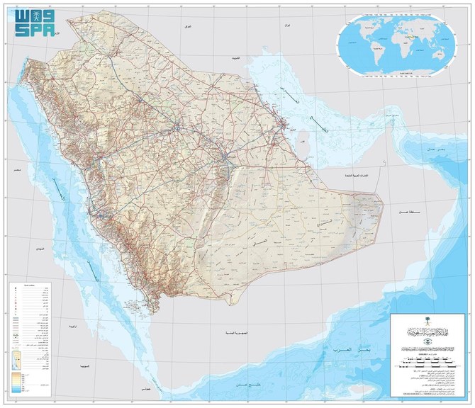
RIYADH: Saudi Arabia’s General Authority for Survey and Geospatial Information announced on Monday that it is the national authority responsible for producing the official map of the Kingdom with approved international borders.
It also said it is responsible for providing maps to all government agencies, the private sector, the academic sector, individuals, and the media, Saudi Press Agency reported.
The authority stressed that government agencies that participate or represent the Kingdom in international organizations, conferences, and forums related to geospatial data should provide organizers with the updated official maps of the Kingdom so that its international land and sea borders and islands are correctly indicated on them.
It called on official authorities not to publish any map of the Kingdom that differed to the official map on websites and other media and in books and pamphlets.
The official map is available in both Arabic and English in a number of digital formats and sizes on the authority’s website (http://www.geosa.gov.sa).