- ARAB NEWS
- 30 Apr 2024
Since 1975


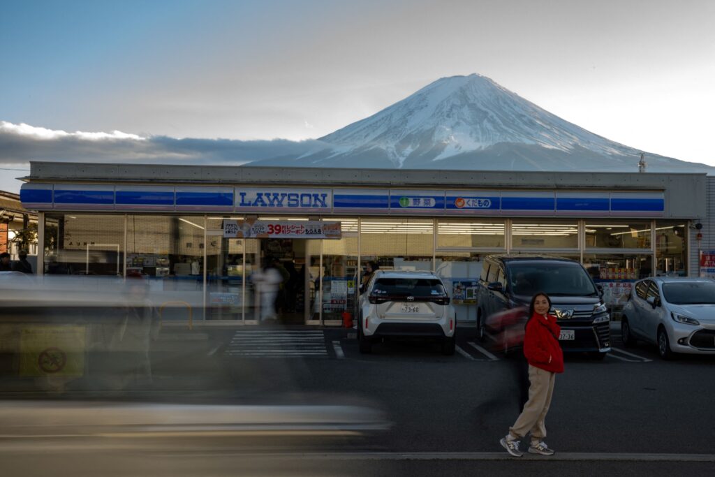
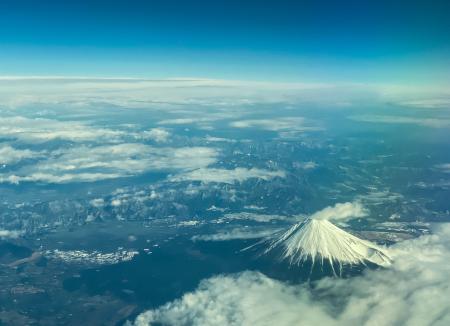
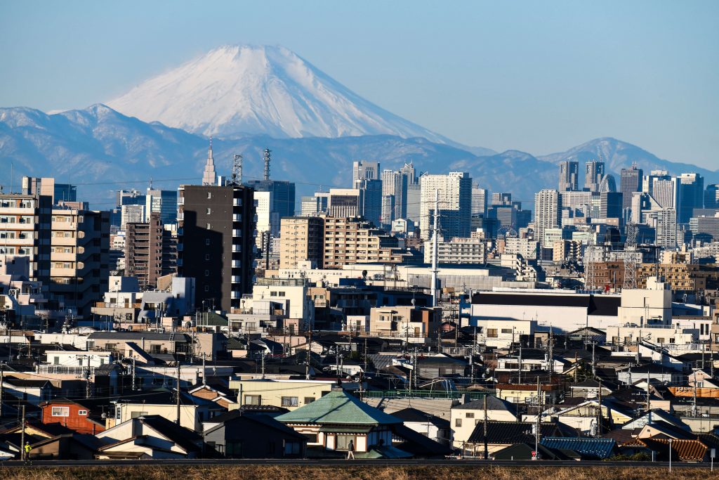
TOKYO: A revised map of hazards from a possible eruption of Mount Fuji showed Friday that lava and pyroclastic flows from the highest mountain in Japan could reach bigger areas than previously forecast.
Some areas could be hit by lava flows some 10 hours earlier than previously expected, according to the map, compiled by a consultative body of officials mainly from the prefectural governments of Yamanashi, Shizuoka and Kanagawa, all near Tokyo.
From 2018, the group worked to reflect the latest findings in the map, for the first revision in 17 years since its completion by the central government in 2004.
Based on analysis of eruptions in the past 5,600 years, the assumed size of the crater to be formed by a possible eruption was expanded to a radius of 4 kilometers of the summit.
The estimated volume of volcanic matter from the eruption roughly doubled from the previous estimate to 1.3 billion cubic meters for lava and quadrupled to 10 million cubic meters for pyroclastic flows.
According to the new map, which takes into account more detailed topographical data, flows of lava could reach 27 municipalities in the three prefectures, up from 15 in Yamanashi and Shizuoka, which the mountain straddles, in the previous map.
Flows of lava could reach the downtown area of Yamanashi’s Fujiyoshida about two hours after an eruption, some 10 hours earlier than the previous estimate.
In Kanagawa, lava could arrive in the major cities of Sagamihara and Odawara in about nine days and 17 days, respectively, according to the map.
The revised map shows that pyroclastic flows, or fast flows of volcanic ash and other matter along with hot gases, are likely to run down to the northeast and southwest from the steep sides of the mountain.
The Higashifuji Goko toll road, which stretches northeast from Mount Fuji, could see pyroclastic flows arriving as soon as six minutes after an eruption, leading to concern over disruption of the trunk road connecting Yamanashi and Shizuoka.
In fiscal 2021, the consultative body will start work to revise its wide-area evacuation plans and review its estimates for damage from the eruption.
Related municipalities will also re-examine their disaster response plans. Among them is Sagamihara, which newly joined the list of areas that may be hit by lava flows.
“We must modify our regional disaster prevention plans so that residents can be evacuated, even though the possibility of lava flows hitting the city might be small,” a Sagamihara official said.
JIJI Press